Use cases

There is still an extensive lack of accurate data on human activities at sea. This has major consequences on the environment, the security & safety at sea, and on the economy: deceptive shipping practices, loss of revenues, overfishing, ocean dumping, piracy, smuggling, etc.

Here comes our space-based RF detection solution for Maritime Domain Awareness! See how Unseenlabs' cutting-edge RF detection technology is revolutionizing maritime surveillance across various regions and industries worldwide. Explore real-world use cases demonstrating our full operational capacity to help you better detect, control and deter undeclared and illegal activities at sea

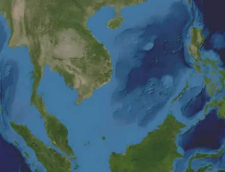
  • West Philippines Sea

    Fisheries, Governments, Trade Intelligence Unseenlabs Reveals Hidden Activities: Case of a Chinese Coast Guard Vessel Near Spratly Islands
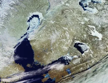
  • A high-resolution satellite image of northeastern Europe, showcasing a winter landscape with ice-covered lakes, snow-covered land, and partially frozen coastlines. The image highlights natural geographic features, including bodies of water and land formations, with a mix of white, blue, and earthy tones. Contains modified Copernicus Sentinel data (2021), processed by ESA

    Baltic Sea

    Offshore facilities Unseenlabs Uncovers Threats to Subsea Cables
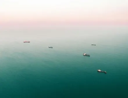
  • An aerial view of multiple cargo ships scattered across a vast, calm ocean with a soft pinkish horizon in the background. The vessels appear to be waiting or anchored in open waters.

    Pacific Ocean

    Fisheries, NGOs Combating Illegal Fishing in the Pacific Ocean
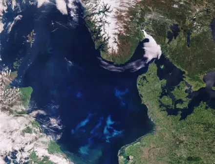
  • Satellite image of the North Sea and surrounding regions, including parts of the United Kingdom, Denmark, Norway, and Germany. The image shows swirling blue-green patterns in the water, indicating a phytoplankton bloom. Snow-covered mountains in Norway contrast with the lush green land areas, while clouds partially cover parts of the scene. Contains modified Copernicus Sentinel data (2017), processed by ESA

    North Sea

    Offshore facilities Unseenlabs Ensures the Security of Offshore Facilities
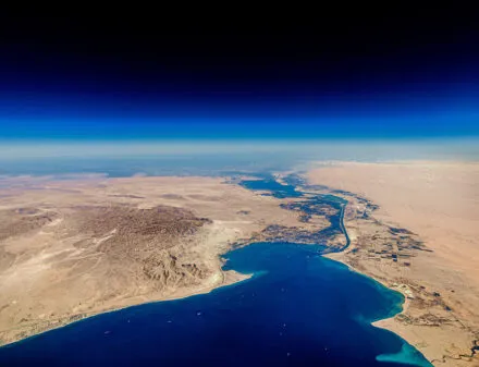
  • A high-altitude aerial view of the Suez Canal cutting through the arid desert landscape, connecting the Mediterranean Sea to the Red Sea. The canal serves as a crucial maritime trade route, with deep blue waters contrasting against the vast sandy terrain. Several ships are visible in the waterway, emphasizing the significance of global shipping and logistics. The sky transitions from a rich blue to a lighter hue near the horizon, adding depth to the image.

    Southern Red Sea

    Governments, Marine Insurers Unseenlabs’ RF Data Collection Campaign in the Red Sea

High-resolution image of Unseenlabs' next-generation satellite orbiting Earth. The satellite, equipped with advanced solar panels and state-of-the-art RF detection technology, operates against the backdrop of space with the sun shining brightly and Earth's curvature visible below. © Unseenlabs

Explore the new benchmark for surveillance

Discover how our technology can enhance your operations
Book a demo