Offshore Facilities
Ensuring Operational Continuity at Sea
Offshore facilities—including subsea cable companies, Transmission System Operators, energy platforms, and pipeline operators—face critical challenges in asset protection and uninterrupted operations.

SECURING STRATEGIC TELECOM & ENERGY INFRASTRUCTURE
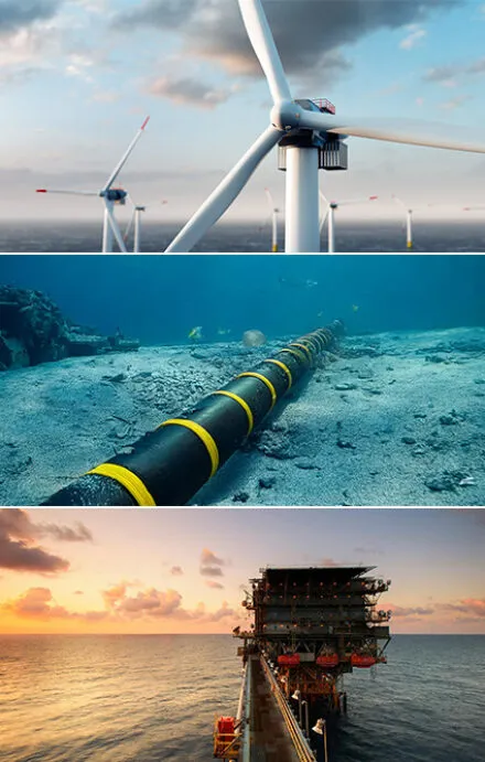
The global economy relies on critical underwater infrastructure, yet much of it remains hidden and exposed to risk.
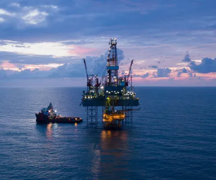
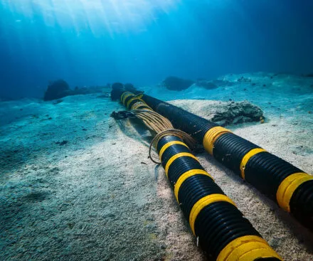
Submarine cables carry over 95% of international telecom traffic, forming the backbone of global communication and the internet. Stretching across vast ocean floors, they face threats from natural disasters, fishing operations, and sabotage. Similarly, offshore energy assets—including oil rigs, gas platforms and wind farms—are vital to energy supply, with offshore wind farms playing an expanding role in renewable energy.
Protecting these assets is complex due to the remote and ever-changing nature of offshore environments. Geopolitical tensions, cyber threats, and physical vulnerabilities heighten the challenge. Securing these infrastructures is not just about resilience—it’s essential for economic stability, national security, and energy independence.
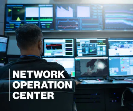
As dependence on these critical assets grows, advanced monitoring and protection solutions become indispensable. Satellite-based RF intelligence plays a key role in enhancing resilience and defending against emerging threats.
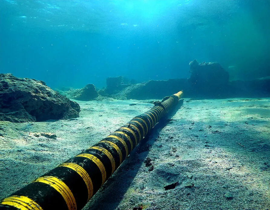
1.3+ million kilometers of subsea cables
Planning, Geofencing, and Incident Investigation
SECURE OPERATIONS
through insights into historical dark ship activities in targeted areas.
PROTECT INFRASTRUCTURE
by detecting and monitoring uncooperative vessels near critical sites.
ASSESS INCIDENTS
with RF intelligence to investigate dark vessel activities when accidental or intentional events occur.

In November 2024, silence fell across vital subsea cables in the Baltic Sea.
Two critical internet cables, lifelines of global connectivity, were suddenly and mysteriously disrupted. As speculation swirled around the cause, from accidental damage to deliberate sabotage, Unseenlabs was already uncovering the story from space. These incidents exposed the fragility of the infrastructure that underpins our interconnected world. With geopolitical tensions on the rise and nations racing to secure critical systems, events like these serve as stark reminders of our invisible vulnerabilities—and the need for cutting-edge technology to reveal them.
Enhancing Offshore Security with Accurate, Wide-Area Surveillance
Our satellites extend beyond the reach of coastal radar, providing coverage where traditional methods fail. Each RF data collection spans over 300,000 km² on average, ensuring comprehensive monitoring of vast offshore zones. Unlike other solutions requiring multiple passes, our technology captures multiband RF data in a single pass, streamlining operations and delivering faster, more efficient insights. With accuracy down to the kilometer, our system enables precise, targeted inspections, reinforcing the protection and integrity of offshore infrastructure.

Extensive Scanning in a Single Pass
-
Global & persistent coverage
Monitoring over 300,000 km² (100,000+ sq. mi.) in one sweep.
Seamless, continuous monitoring of vast offshore zones provides full coverage for critical infrastructure.
-
Beyond the limits of coastal radar, our satellites detect signals far beyond the shoreline, leaving no asset unmonitored.
Reliable surveillance of offshore platforms, subsea cables, and energy installations in remote locations.
-
High-precision data enables kilometer-level accuracy to pinpoint activity, safeguard vital infrastructure, and detect potential threats.
Accessible and Easily Ingestible Data
-
Highly interpretable and fully compatible with any standard GIS
Streamlined data workflows enhance operational efficiency and support informed decision-making.
-
Each collection file is under 1 MB, enabling quick access and minimal storage requirements without compromising insight quality.
Supports fast and real-time analysis for rapid response to emerging threats or operational demands.